Parchemuche: Geography and Name
Official height recorded at 6,187 m (20,298 ft).
Positioned on the high border ridge between Rolwaling and Khumbu.
High Pass Access: Base camp is typically pitched near or directly on the Tashi Lapcha Pass.
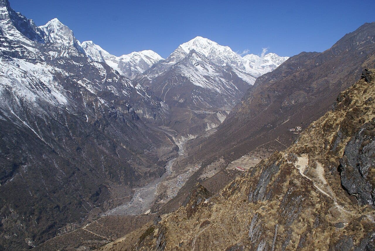
"Parchamo Peak"
Parchemuche (commonly called Parchamo) rises directly south of the high Tashi Lapcha Pass (5,755 m).
It connects the remote Rolwaling Valley with the Thame region of western Khumbu.
Route, acclimatisation and permit notes for Parchemuche from the Nepal Side side, plus practical safety advice.
Official height recorded at 6,187 m (20,298 ft).
Positioned on the high border ridge between Rolwaling and Khumbu.
High Pass Access: Base camp is typically pitched near or directly on the Tashi Lapcha Pass.
Ascended via the North Ridge straight from the high pass col.
The standard season on Parchemuche is Spring & Autumn (Mar–May / Sep–Nov). Rockfall Zone: The approach to Tashi Lapcha Pass involves unstable rockfall zones.
Approaches to Parchemuche begin from Nepal Side in Dolakha / Solukhumbu, where the main objective is the North Ridge. Confirm current permit, insurance, and national park requirements before departure.
Plan for road travel to the Nepal Side trailhead, then several days of walking before you reach the foot of Parchemuche. Gain height gradually, take a rest day before moving to high camp, and keep a spare weather day in reserve during Spring & Autumn.
Summit day on a 6,187 m objective is long, so start early and set a clear turn-around time. If the North Ridge is crowded or the snow is unstable, waiting a day is almost always better than pushing on.
Parchemuche "Parchamo Peak" stands at 6,187 m in Dolakha / Solukhumbu, Tashi Lapcha Pass. The figures below summarise the mountain for trip planning.