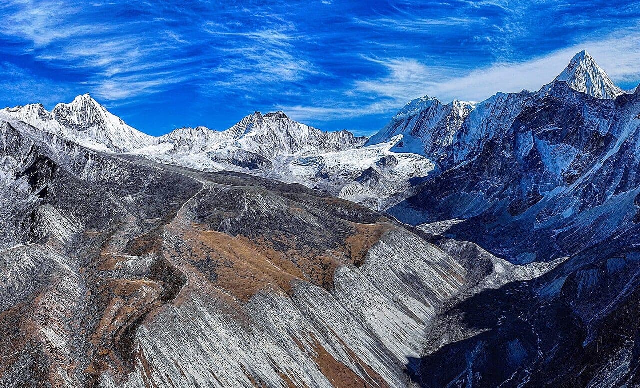
Ombigaichen Peak
6,340 m
SOLUKHUMBU DISTRICT

Ombigaichen

"The Ama Dablam Neighbour"

Elevation
6,340 m
20,800 ft
Location
Solukhumbu District
Barun / Khumbu Border
Best Season
Spring & Autumn
Mar–May / Sep–Nov
Standard Route
Southeast Ridge
Nepal Side

In the Shadow of Ama Dablam

Ombigaichen (also known as Laduk) sits just east of Ama Dablam in the Khumbu region.

Officially opened for climbing by NMA in 2002, it offers an appealing alternative for technical climbers seeking solitude.

Key Highlights

  • Close-up vantage points of Ama Dablam's eastern wall.
  • Quiet, pristine alpine environment away from commercial trails.
  • Challenging snow flutings and ice crests.

Quick Facts

First Ascent
1960
Parent Range
Mahalangur Himal, Himalayas
Coordinates
27.8500° N, 86.9167° E
Beyond the Basics

Ombigaichen: Climbing & Trekking Guide

Route, acclimatisation and permit notes for Ombigaichen from the Nepal Side side, plus practical safety advice.

Ombigaichen: Geography and Name

Located at an elevation of 6,340 m (20,800 ft) in the Mahalangur range.

Rises above the Mingbo Glacier basin.

First Ascent: First climbed by a British expedition led by Edmund Hillary in 1960, with James Morris reaching the top.

Ombigaichen: Climbing Routes

Climbed via the Southeast Ridge from the Mingbo Valley base camp.

  • Southeast Ridge Line: Technical snow crests and exposed ridge navigation above 6,000 m.

Ombigaichen: Permits, Season and Safety

The standard season on Ombigaichen is Spring & Autumn (Mar–May / Sep–Nov). Exposed Crests: Summit knife-edge ridges demand extreme care and fixed lines.

Approaches to Ombigaichen begin from Nepal Side in Solukhumbu District, where the main objective is the Southeast Ridge. Confirm current permit, insurance, and national park requirements before departure.

  • Permits required: NMA Peak Permit.
  • Best months: Spring (April–May) and Autumn (October–November).
  • Elevation: 6,340 m (20,800 ft).

Ombigaichen: Approach and Acclimatisation

Plan for road travel to the Nepal Side trailhead, then several days of walking before you reach the foot of Ombigaichen. Gain height gradually, take a rest day before moving to high camp, and keep a spare weather day in reserve during Spring & Autumn.

Summit day on a 6,340 m objective is long, so start early and set a clear turn-around time. If the Southeast Ridge is crowded or the snow is unstable, waiting a day is almost always better than pushing on.

Ombigaichen: Facts and Figures

Ombigaichen "The Ama Dablam Neighbour" stands at 6,340 m in Solukhumbu District, Barun / Khumbu Border. The figures below summarise the mountain for trip planning.

  • First Ascent: 1960
  • Parent Range: Mahalangur Himal, Himalayas
  • Coordinates: 27.8500° N, 86.9167° E